


| Burial Sites in Auburn, New Hampshire |
|---|
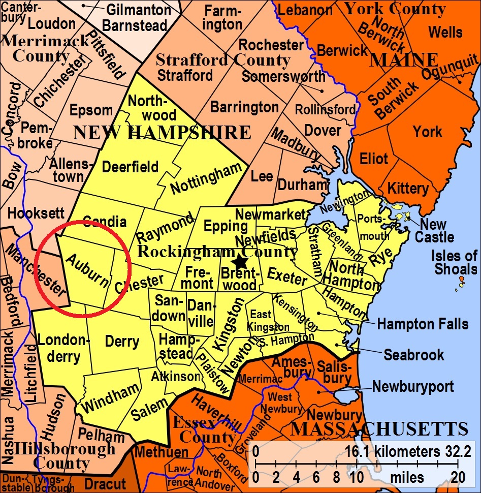
| To see a map of all sites click here. |
| A13-002 Longmeadow, Chester Road, USGS Derry Quadrangle, E31117, N476016, Zone 19 (42° 58' 21"N, 71° 18' 56"W), Source: Hugh Topliff 1989 MAP See: Find a Grave |
| A13-003 Robie, off Rte. 28 Bypass, USGS Derry Quadrangle, E30882, N475723, Zone 19 (42° 56' 44"N, 71° 20' 36"W), Source: Hugh Topliff 1989 MAP |
| A13-001 Village Cemetery, Eaton Hill Road, USGS Candia Quadrangle, E30880, N476410, Zone 19 (43° 0' 27"N, 71° 20' 45"W), Source: Hugh Topliff 1989 MAP |
Listings Copyright © 1998-2024 New Hampshire Old Graveyard Association.
All rights reserved.
Send mail to webmaster@nhoga.org with questions or comments about this web site.