


Note: The Sunapee entries were completely redone in 2017 based on data from:
| Burial Sites in Sunapee, New Hampshire |
|---|
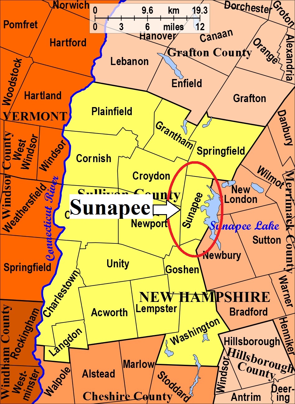
| To see a map of all sites click here. |
| S23-008 Colby, Stagecoach Rd just south of Dexter's Drive (labeled "Simpson 270". Drive in; park on right; gate is to the right), (GPS: 43.3669333°N, 72.0973167°W), Source: Unknown MAP |
| S23-001 Cooper, Behind 324 Stagecoach Rd. Park on road; walk up drive keeping to right; gate is to right of small shed, (GPS: 43.3635667°N, 72.1098111°W), Source: Unknown MAP |
| S23-006 Crowther Chapel and Cemetery, Stagecoach Rd. and Young's Hill Rd. Park in Dexter's lot; walk up right side of inn; follow path. (GPS: 43.3690500°N, 72.0972667°W), Source: Unknown MAP |
| S23-007 Eastman (New), West side of North Road, (GPS: 43.4156333°N, 72.1020167°W), Source: Unknown MAP |
| S23-002 Eastman (Old), East side of North Road, USGS Sunapee Quadrangle, E73470, N481074, Zone 18 (43° 24' 53.08"N, 72° 6' 4.03"W), (GPS: 43.4148000°N, 72.1006667°W), Source: NHHS 1975, GPS location updated: Unknown MAP |
| S23-003 Georges Mills, On Main Street in Georges Mills, USGS Sunapee Quadrangle, E73719, N481261, Zone 18 (43° 25' 50.80"N, 72° 4' 10.53"W), (GPS: 43.4308500°N, 72.0691167°W), Source: NHHS 1975, GPS location updated: Unknown MAP |
| S23-005 Lower Village Cemetery, On North Rd at Lower Main Street (Park in school lot.), USGS Sunapee Quadrangle, E73517, N480766, Zone 18 (43° 23' 12.84"N, 72° 5' 47.92"W), (GPS: 43.3869500°N, 72.0962000°W), Source: NHHS 1975, GPS location updated: Unknown MAP |
| S23-004 South Cemetery, On Harding Hill Road, USGS Newport Quadrangle, E73467, N480347, Zone 18 (43° 20' 57.75"N, 72° 6' 16.57"W), (GPS: 43.3494667°N, 72.1041500°W), Source: NHHS 1975, GPS location updated: Unknown MAP |
Listings Copyright © 1998-2024 New Hampshire Old Graveyard Association.
All rights reserved.
Send mail to webmaster@nhoga.org with questions or comments about this web site.