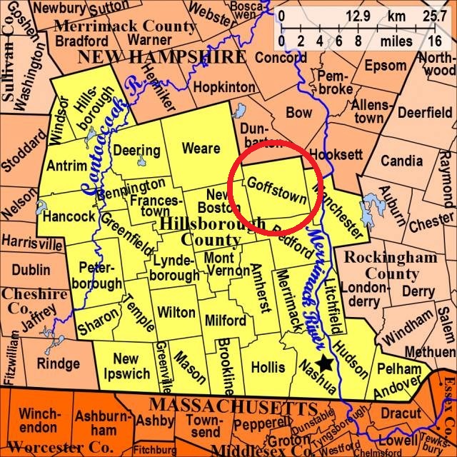


| Burial Sites in Goffstown, New Hampshire |
|---|
| To see a map of all sites click here. |
| ------ County Farm, See: Hillsborough County Cemetery, G04-009 |
| ------ Grasmere, See: Hillside, G04-001 |
| G04-009 Hillsborough County Cemetery, Off Mast Road at the County Farm, USGS Goffstown Quadrangle, E29337, N476482, Zone 19 (43° 0' 35.68"N, 71° 32' 7.28"W), (GPS: 43.0100200°N, 71.5348280°W), Cemetery for the residents of the County Farm. Source: Find a Grave 2022 MAP See: Find a Grave |
| G04-001 Hillside, Center Street, USGS Goffstown Quadrangle, E29255, N476605, Zone 19 (43° 1' 14.71"N, 71° 32' 45.11"W), (GPS: 43.0208600°N, 71.5453170°W), Source: Goffstown Hist. Soc. 1987, updated: Webmaster 2019 MAP See: Find a Grave |
| G04-002 Holy Trinity (new), Goffstown Back Road, USGS Goffstown Quadrangle, E29542, N476521, Zone 19 (43° 0' 50"N, 71° 30' 37"W), Source: Goffstown Hist. Soc. 1987 MAP See: Find a Grave |
| G04-003 Holy Trinity (old), Goffstown Back Road, USGS Goffstown Quadrangle, E29571, N476512, Zone 19 (43° 0' 48"N, 71° 30' 24"W), Source: Goffstown Hist. Soc. 1987 MAP |
| ------ Jones Tomb, See: Mountain Road Cem., G04-004 |
| G04-004 Mountain Road Cem., Mountain Road, USGS Goffstown Quadrangle, E28786, N476439, Zone 19 (43° 0' 16.29"N, 71° 36' 9.83"W), (GPS: 43.0046118°N, 71.6022965°W), Source: Goffstown Hist. Soc. 1987 Updated: Find a Grave 2022 MAP Listed as: Jones Tomb on Find a Grave |
| G04-008 Old Goffstown Cemetery, Exact location unknown. USGS Goffstown Quadrangle, (Coordinates needed) According to G.P Hadley's History of Goffstown the earliest burials in the town took place at "...an ancient cemetery upon the Mast Road near where the oak tree stands at the Hillsborough County Buildings.". The only known person to be interred here was John Butterfield. There were probably several others. No stones visible. Source: History of Goffstown 2022 |
| ------ Polish National Catholic Cemetery, See: Holy Trinity (new), G04-002 |
| G04-005 Shirley Hill, Back Mtn. Road, USGS Pinardville Quadrangle, E29079, N476197, Zone 19 (42° 59' 1"N, 71° 33' 57"W), Source: Goffstown Hist. Soc. 1987 MAP See: Find a Grave |
| G04-007 Villa Augustina, Off Normand Road behind the Villa, USGS Goffstown Quadrangle, E29015, N476490, Zone 19 (43° 0' 35.10"N, 71° 34' 29.48"W), (GPS: 43.0098200°N, 71.5744100°W), Cemetery for the members of religous orders who taught or resided at the Villa. Source: Geologic Survey Map, Updated: Find a Grave 2022 MAP See: Find a Grave |
| G04-006 Westlawn, North Mast Road (Rte. 114), USGS Goffstown Quadrangle, E28717, N476648, Zone 19 (43° 1' 23"N, 71° 36' 43"W), Source: Goffstown Hist. Soc. 1987 MAP See: Find a Grave |
Listings Copyright © 1998-2024 New Hampshire Old Graveyard Association.
All rights reserved.
Send mail to webmaster@nhoga.org with questions or comments about this web site.