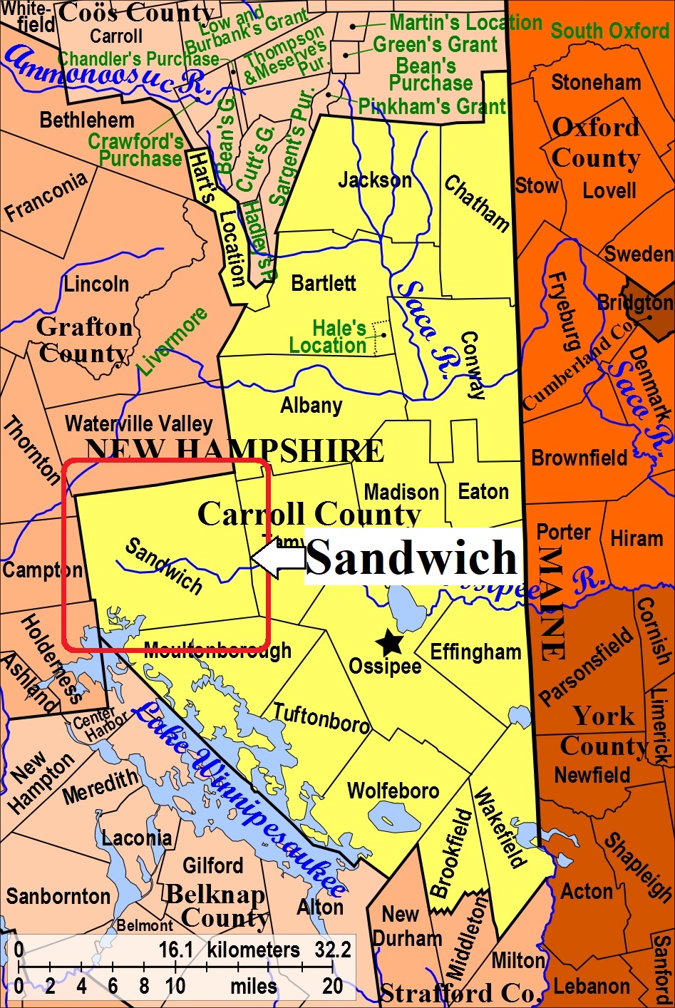


| Burial Sites in Sandwich, New Hampshire |
|---|
| Note: The sites with "red background" do not look correct on the Google maps corresponding to the lat/long coordinates for that cemetery. The problem may be either incorrect lat/long or changed street names. Please send any corrections to NHOGA Webmaster with corrected lat/longs in degrees/minutes/seconds or degrees + fractional degrees to 6 places. |
| To see a map of all sites click here. |
| S05-001 Baptist/Rural Cemetery/Burleigh Cemetery, Church Street, USGS Center Sandwich Quadrangle, E30377, N485331, Zone 19 (43° 48' 32"N, 71° 26' 23"W), Source: Sandwich Hist. Soc. MAP |
| S05-002 Beede, Route 109, USGS Center Sandwich Quadrangle, E30560, N485245, Zone 19 (43° 48' 5"N, 71° 24' 60"W), Excursion 1977, pg. 15 Source: Sandwich Hist. Soc MAP |
| S05-003 Beede, Camp Hale Road, (Location unknown), (Coordinates needed) Source: Sandwich Hist. Soc. |
| S05-004 Beede, Burleigh Hill, (Location unknown), Excursion 1977, pg. 15, (Coordinates needed) Source: Sandwich Hist. Soc. |
| S05-005 Beede, Beede Road, (Location unknown), Excursion 1977, pg. 15, (Coordinates needed) Source: Sandwich Hist. Soc. |
| ------ Beede, See: Moulton/Beede, S05-009 |
| ------ Beede, See: Moulton/Beede (or Estes site), S05-031 |
| S05-029 Bickford, off Rt, 113A, (Location unknown), Excursion 1977, pg. 19, (Coordinates needed) Source: Sandwich Hist. Soc. |
| ------ Burleigh, See: Baptist/Rural Cemetery/Burleigh Cemetery, S05-001 |
| S05-061 Burying Plot, See: Varney, S05-053, (Coordinates needed) Source: Unknown |
| S05-006 Chick's Corner, Dinsmore Pd. Rd, USGS Center Sandwich Quadrangle, E30107, N485289, Zone 19 (43° 48' 15"N, 71° 28' 23"W), Excursion 1977, pg. 15 Source: Sandwich Hist. Soc. MAP |
| S05-007 Cram/Webster, Ossipee Mt. Road, USGS Tamworth Quadrangle, E30981, N485186, Zone 19 (43° 47' 50"N, 71° 21' 51"W), Excursion 1977, pg. 15 Source: Sandwich Hist. Soc. MAP |
| ------ Eastman, See: Watson/Eastman, S05-059 |
| S05-008 Elm Hill, Elm Hill Road, USGS Center Sandwich Quadrangle, E30425, N485409, Zone 19 (43° 48' 57"N, 71° 26' 2"W), Excursion 1977, pg. 16 Source: Sandwich Hist. Soc. MAP |
| ------ Este, See: Moulton/Beede, S05-009 |
| ------ Estes, See: Moulton/Beede (or Estes site), S05-031 |
| S05-012 Fellows Hill, Fellows Hill Rd, (Location unknown), Excursion 1977, pg. 16, (Coordinates needed) Source: Sandwich Hist. Soc. |
| ------ Friends, See: Quaker, S05-039 |
| ------ Friends, See: Quaker, S05-040 |
| S05-013 Fry, Diamond Ledge Rd. (Location unknown), Excursion 1977, pg. 16, (Coordinates needed) Source: Sandwich Hist. Soc. |
| S05-014 Fry (Richard), near Weed Brook, (Location unknown), Excursion 1977, pg. 16, (Coordinates needed) Source: Sandwich Hist. Soc. |
| S05-010 Frye, off Meader Road, (Location unknown), (Coordinates needed) Source: Unknown |
| S05-015 George, Route 113, USGS Squam Mountains Quadrangle, E29611, N485124, Zone 19 (43° 47' 17"N, 71° 32' 2"W), Excursion 1977, pg. 16 Source: Sandwich Hist. Soc. MAP |
| ------ Gilman, See: Moulton (Jeremiah)/Gilman, S05-032 |
| S05-068 Gilman (Israel), off Diamond Ledge Road, USGS Center Sandwich Quadrangle, E30087, N485538, Zone 19 (43° 49' 35.80"N, 71° 28' 35.09"W), (GPS: 43.8266667°N, 71.4759750°W), Source: Find a Grave Photo, 2022 MAP |
| S05-017 Gilman Hill, on Gilman/Hall, (Location unknown), (Coordinates needed) Source: Unknown |
| S05-016 Gilman/Hall, Sandwich Notch Rd. (Location unknown), Excursion 1977, pg. 16, (Coordinates needed) Source: Sandwich Hist. Soc. |
| S05-011 Grove, Grove Street (Methodist Cemetery), USGS Center Sandwich Quadrangle, E30333, N485344, Zone 19 (43° 48' 35"N, 71° 26' 42"W), Excursion 1977, pg. 25 Source: Sandwich Hist. Soc. MAP |
| S05-018 Haines, See Moultonboro: Haines, M17-013, (Coordinates needed) Source: Unknown |
| ------ Hall, See: Gilman/Hall, S05-016 |
| ------ Hanson, See: Vittum/Hanson, S05-054 |
| S05-019 Hill, Range Road, (Location unknown), Excursion 1977, pg. 18, removals from here, (Coordinates needed) Source: Sandwich Hist. Soc. |
| S05-020 Hilton, Middle Road, (Location unknown), Excursion 1977, pg. 18, (Coordinates needed) Source: Sandwich Hist. Soc. |
| S05-022 Hoyt, off Route 25, (Location unknown), Excursion 1977, pg. 18, (Coordinates needed) Source: Sandwich Hist. Soc. |
| S05-021 Hubbard, Off Mountain Rd, USGS Tamworth Quadrangle, E30991, N485060, Zone 19 (43° 47' 10"N, 71° 21' 45"W), Excursion 1977, pg. 18 Source: Sandwich Hist. Soc. MAP |
| S05-065 Ladd, Route 113, (Location unknown), Excursion 1977, pg. 19, (Coordinates needed) Source: Sandwich Hist. Soc. |
| S05-023 Little Pond Cemetery, Little Pond Road, USGS Center Sandwich Quadrangle, E30659, N485130, Zone 19 (43° 47' 29"N, 71° 24' 14"W), Excursion 1977, pg. 10 Source: Sandwich Hist. Soc. MAP |
| S05-024 Mason, Gran. Smith Rd. (Location unknown), Excursion 1977, pg. 19, (Coordinates needed) Source: Sandwich Hist. Soc. |
| S05-027 Mason, Mt. Israel Road, USGS Center Sandwich Quadrangle, E30365, N485833, Zone 19 (43° 51' 14"N, 71° 26' 35"W), Excursion 1977, pg. 19 Source: Sandwich Hist. Soc. MAP |
| S05-028 Meader, Diamond Ledge Rd. (Location unknown), Excursion 1977, pg. 19, (Coordinates needed) Source: Sandwich Hist. Soc. |
| S05-026 Mears/Nelson, Mason Road, (Location unknown), Excursion 1977, pg. 19, (Coordinates needed) Source: Sandwich Hist. Soc. |
| ------ Methodist, See: Grove, S05-011 |
| S05-030 Morse, Mt. Israel Road, (Location unknown), Excursion 1977, pg. 19, (Coordinates needed) Source: Sandwich Hist. Soc. |
| ------ Morse, See: Smith/Morse, S05-046 |
| S05-063 Moulton (Jeremiah), (Location unknown), Excursion 1977, pg. 19, (Coordinates needed) Source: Sandwich Hist. Soc. |
| S05-032 Moulton (Jeremiah)/Gilman, Dinsmore Mtn. Rd, (Location unknown), Excursion 1977, pg. 19, (Coordinates needed) Source: Sandwich Hist. Soc. |
| S05-009 Moulton/Beede, Schoolhouse Road, USGS Center Sandwich Quadrangle, E30460, N484980, Zone 19 (43° 46' 39"N, 71° 25' 41"W), Excursion 1977, pg. 19 Source: Sandwich Hist. Soc. MAP |
| S05-031 Moulton/Beede (or Estes site), Range Road, (Location unknown), Excursion 1977, pg. 19, (Coordinates needed) Source: Sandwich Hist. Soc. |
| S05-064 Mudgett, (Location unknown), Excursion 1977, pg. 19, (Coordinates needed) Source: Sandwich Hist. Soc. |
| ------ Nelson, See: Mears/Nelson, S05-026 |
| S05-033 North Sandwich Cem., Beede Flat Road, USGS Center Sandwich Quadrangle, E30738, N485672, Zone 19 (43° 50' 25"N, 71° 23' 46"W), Source: Sandwich Hist. Soc. MAP |
| S05-034 Old Burying Ground, Sandwich Notch Rd. (Location unknown), (Coordinates needed) Source: Sandwich Hist. Soc. |
| S05-035 Page, Page Hill Road, (Location unknown), Excursion 1977, pg. 20, (Coordinates needed) Source: Sandwich Hist. Soc. |
| ------ Palmer, See: Smith (G.G.)/Palmer, S05-043 |
| S05-036 Penniman, Bennett Street, (Location unknown), Excursion 1977, pg. 20, (Coordinates needed) Source: Sandwich Hist. Soc. |
| ------ Pinewoods, See: Taylor (aka Pinewoods), S05-025 |
| S05-037 Prescott, Diamond Ledge Rd. (Location unknown), Excursion 1977, pg. 20, (Coordinates needed) Source: Sandwich Hist. Soc. |
| S05-039 Quaker, Route 109, USGS Center Sandwich Quadrangle, E30476, N485235, Zone 19 (43° 48' 1"N, 71° 25' 37"W), Excursion 1977, pg. 20, established 1766 Source: Sandwich Hist. Soc. MAP |
| S05-040 Quaker, Whiteface Road, USGS Tamworth Quadrangle, E31000, N485887, Zone 19 (43° 51' 37"N, 71° 21' 51"W), Excursion 1977, pg. 20 Source: Sandwich Hist. Soc. MAP |
| S05-038 Quimby, Maple Ridge Rd. (Location unknown), (Coordinates needed) Source: Sandwich Hist. Soc. |
| S05-041 Quimby, Maple Ridge Road, USGS Center Sandwich Quadrangle, E30583, N485706, Zone 19 (43° 50' 35"N, 71° 24' 55"W), Excursion 1977, pg. 21 Source: Sandwich Hist. Soc. MAP |
| ------ Rural Cemetery, See: Baptist/Rural Cemetery/Burleigh Cemetery, S05-001 |
| S05-052 Smith, Cooledge Farm Rd. (Location unknown), Excursion 1977, pg. 21, (Coordinates needed) Source: Sandwich Hist. Soc. |
| S05-043 Smith (G.G.)/Palmer, Foss Flats Road, (Location unknown), Excursion 1977, pg. 21, (Coordinates needed) Source: Sandwich Hist. Soc. |
| S05-042 Smith (Levi), Range Road, (Location unknown), Excursion 1977, pg. 21, (Coordinates needed) Source: Sandwich Hist. Soc. |
| S05-049 Smith (Lewis Q.), Sand. Notch Rd. (Location unknown), Stones removed, Excursion 1977, pg. 22, (Coordinates needed) Source: Sandwich Hist. Soc. |
| S05-046 Smith/Morse, Schoolhouse Road, USGS Center Sandwich Quadrangle, E30437, N484970, Zone 19 (43° 46' 35"N, 71° 25' 51"W), Excursion 1977, pg. 22 Source: Sandwich Hist. Soc. MAP |
| S05-047 Smithville, Dinsmore Pond Rd. (Location unknown), Excursion 1977, pg. 22, fieldstones only, (Coordinates needed) Source: Sandwich Hist. Soc. |
| S05-048 Stevenson, Maple Ridge Rd. (Location unknown), Excursion 1977, pg. 22, fieldstones only, (Coordinates needed) Source: Sandwich Hist. Soc. |
| S05-025 Taylor (aka Pinewoods), Beede Flat Road, USGS Tamworth Quadrangle, E31149, N485612, Zone 19 (43° 50' 10"N, 71° 20' 41"W), Excursion 1977, pg. 20 Source: Sandwich Hist. Soc. MAP |
| S05-060 Thompson, Route 113, USGS Squam Mountains Quadrangle, E29866, N485264, Zone 19 (43° 48' 5"N, 71° 30' 10"W), Excursion 1977, pg. 23 Source: Sandwich Hist. Soc. MAP |
| ------ Tilton, See: Tilton, M17-016 in Moultonborough. Previously listed as S05-050. Site is in Moultonborough. |
| S05-051 Town Poor Cemetery, Beede Hill, (Location unknown), (Coordinates needed) Source: Sandwich Hist. Soc. |
| S05-053 Varney, Taterboro Road, (Location unknown), Excursion 1977, pg. 23, (Coordinates needed) Source: Sandwich Hist. Soc. |
| ------ Vittum, See: Wallace/Vittum, S05-055 |
| S05-067 Vittum Hill Cemetery, Vittum Hill Road, USGS Tamworth Quadrangle, E31031, N485320, Zone 19 (43° 48' 34"N, 71° 21' 30"W), Excursion 1977, pg. 23 Source: Sandwich Hist. Soc. MAP |
| S05-054 Vittum/Hanson, (Location unknown), Excursion 1977, pg. 24, (Coordinates needed) Source: Sandwich Hist. Soc. |
| S05-055 Wallace/Vittum, Route 25, USGS Tamworth Quadrangle, E31070, N485333, Zone 19 (43° 48' 39"N, 71° 21' 13"W), Excursion 1977, pg. 24 Source: Sandwich Hist. Soc. MAP |
| S05-059 Watson/Eastman, Metcalf Road, USGS Squam Mountains Quadrangle, E29673, N485175, Zone 19 (43° 47' 34"N, 71° 31' 35"W), Excursion 1977, pg. 15 Source: Sandwich Hist. Soc. MAP |
| ------ Webster, See: Cram/Webster, S05-007 |
| S05-056 Weed, Ossipee Mtn. Rd. (Location unknown), Excursion 1977, pg. 24, (Coordinates needed) Source: Sandwich Hist. Soc. |
| S05-058 Weed, Route 113A, USGS Center Sandwich Quadrangle, E30781, N485851, Zone 19 (43° 51' 24"N, 71° 23' 29"W), Excursion 1977, pg. 25 Source: Sandwich Hist. Soc. MAP |
| S05-057 Weed's Mills, Whiteface Road, USGS Center Sandwich Quadrangle, E30750, N485979, Zone 19 (43° 52' 5"N, 71° 23' 44"W), Excursion 1977, pg. 25 Source: Sandwich Hist. Soc. MAP |
| S05-066 Whiteface, off 113A, USGS Mount Tripyramid Quadrangle, E30721, N486232, Zone 19 (43° 53' 27"N, 71° 24' 1"W), Excursion 1977, pg. 25 Source: Sandwich Hist. Soc. MAP |
Listings Copyright © 1998-2024 New Hampshire Old Graveyard Association.
All rights reserved.
Send mail to webmaster@nhoga.org with questions or comments about this web site.