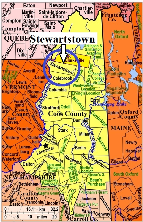


| Burial Sites in Stewartstown, New Hampshire |
|---|
| Note: The sites with "red background" do not look correct on the Google maps corresponding to the lat/long coordinates for that cemetery. The problem may be either incorrect lat/long or changed street names. Please send any corrections to NHOGA Webmaster with corrected lat/longs in degrees/minutes/seconds or degrees + fractional degrees to 6 places. |
| To see a map of all sites click here. |
| S15-001 Coos County Cemetery, Route 3, USGS Monadnock Mountain (VT) Quadrangle, E30058, N498407, Zone 19 (44° 59' 2"N, 71° 31' 46"W), Source: Nancy Dodge 1982 MAP |
| S15-002 Field, off Ladd Pond, USGS Lovering Mountain Quadrangle, E30722, N498177, Zone 19 (44° 57' 55"N, 71° 26' 40"W), Source: Nancy Dodge 1982 MAP |
| ------ Gideon Terrill, See: Terrill, S15-003 |
| S15-004 Hollow, Route 145, USGS Lovering Mountain Quadrangle, E30730, N498105, Zone 19 (44° 57' 31"N, 71° 26' 35"W), Source: Nancy Dodge 1982 MAP |
| S15-005 North Hill, Creampoke Road, USGS Lovering Mountain Quadrangle, E30907, N498279, Zone 19 (44° 58' 29"N, 71° 25' 17"W), Source: Nancy Dodge 1982 MAP |
| S15-006 Piper Hill, Route 3, USGS Monadnock Mountain (VT) Quadrangle, E30160, N498243, Zone 19 (44° 58' 10"N, 71° 30' 57"W), Source: Nancy Dodge 1982 MAP |
| S15-007 Saint Alberts, Route 3, USGS Monadnock Mountain (VT) Quadrangle, E30149, N498268, Zone 19 (44° 58' 18"N, 71° 31' 3"W), Source: Nancy Dodge 1982 MAP |
| S15-008 South Hill, South Hill Road, USGS Lovering Mountain Quadrangle, E30889, N497883, Zone 19 (44° 56' 21"N, 71° 25' 20"W), Source: Nancy Dodge 1982 MAP |
| S15-003 Terrill, North Hill Road, USGS Lovering Mountain Quadrangle, E30939, N498370, Zone 19 (44° 58' 59.18"N, 71° 25' 3.56"W), (GPS: 44.9831390°N, 71.4171260°W), Note: On Googlemaps this section of road is shown as Old Country Rd. Among locals, it is also known as Old County Rd. as well as North Hill Rd. Source: Brian Cavanaugh 2017 MAP |
Listings Copyright © 1998-2024 New Hampshire Old Graveyard Association.
All rights reserved.
Send mail to webmaster@nhoga.org with questions or comments about this web site.