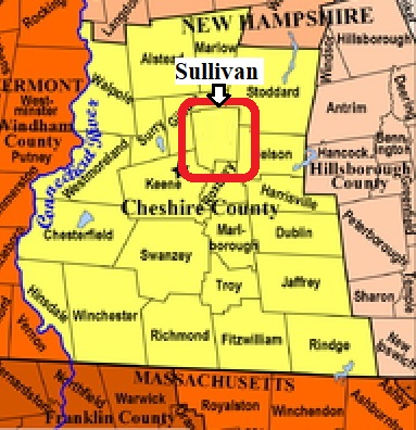


| Burial Sites in Sullivan, New Hampshire |
|---|
| To see a map of all sites click here. |
| S22-001 East Sullivan, on Centre St. just off Rt. 9, USGS Marlborough Quadrangle, E72851, N476387, Zone 18 (42° 59' 42.39"N, 72° 11' 48.71"W), (GPS: 42.9952070°N, 72.1963740°W), Source: NHHS 1980, updated: Sandy Sliviak 2016 MAP |
| S22-002 Four Corners, on Centre St at Arlen Drive, USGS Stoddard Quadrangle, E72581, N476546, Zone 18 (43° 0' 36.77"N, 72° 13' 45.50"W), (GPS: 43.0103350°N, 72.2288870°W), Source: NHHS 1980, updated: Sandy Sliviak 2016 MAP |
| S22-003 Meetinghouse, on Church St. at Centre St. USGS Stoddard Quadrangle, E72641, N476576, Zone 18 (43° 0' 45.85"N, 72° 13' 18.59"W), (GPS: 43.0128090°N, 72.2213960°W), Source: NHHS 1980, updated: Sandy Sliviak 2016 MAP |
| ------ Sullivan Center Cemetery, See: Meetinghouse, S22-003 |
Listings Copyright © 1998-2024 New Hampshire Old Graveyard Association.
All rights reserved.
Send mail to webmaster@nhoga.org with questions or comments about this web site.